1
/
of
1
A-Z Maps
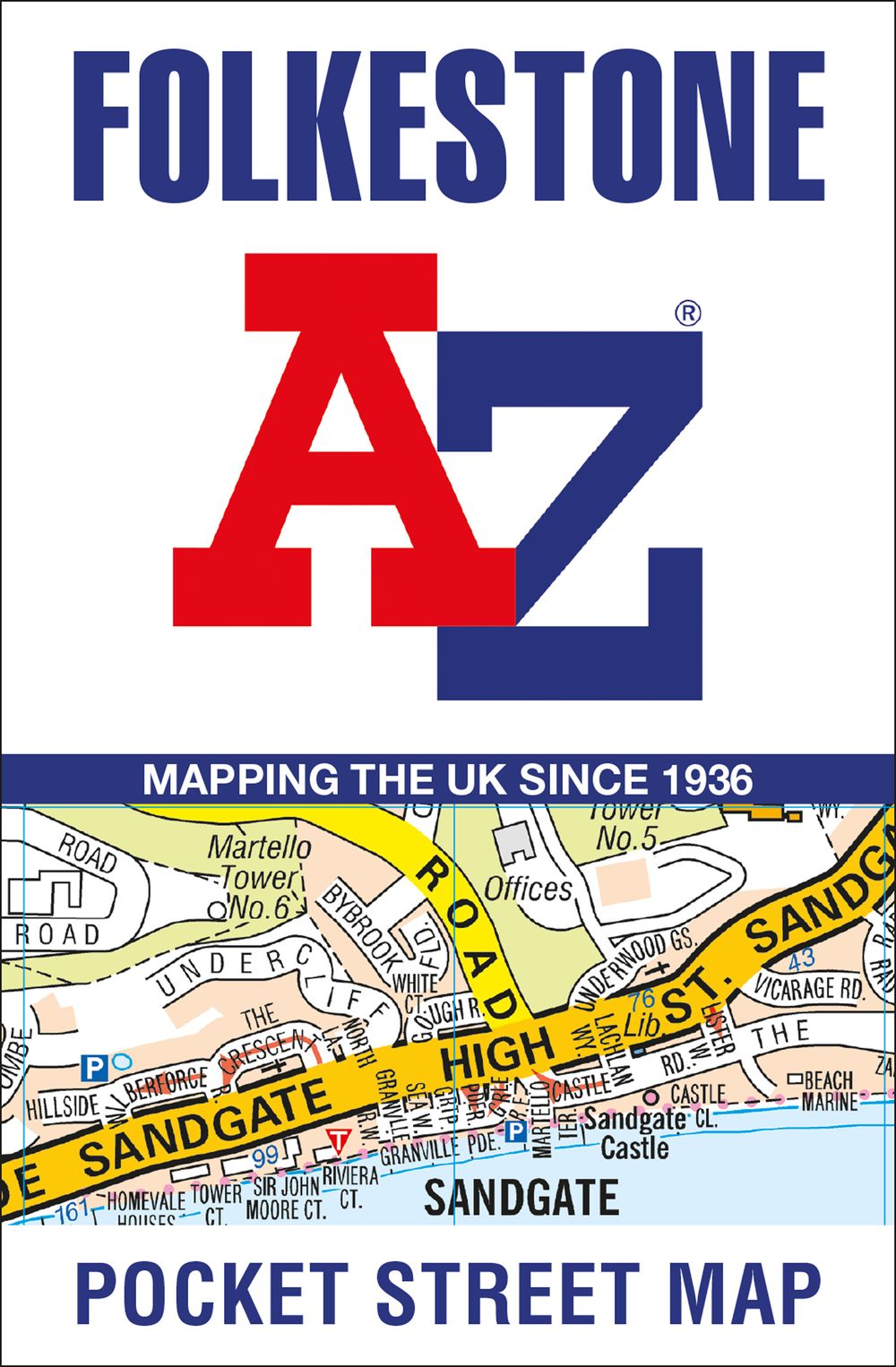
Folkestone A-Z Pocket Street Map
Folkestone A-Z Pocket Street Map
Regular price
$7.87 AUD
Regular price
$8.99 AUD
Sale price
$7.87 AUD
Unit price
/
per
Couldn't load pickup availability
This up-to-date, folded A-Z street map includes all of the 1,500 streets in and around Folkestone. Detailed coverage of an area extending from Hawkinge to Sandgate in the south, and from East Wear Bay in the east to Newington in the west.
• Postcode districts, one-way streets and car parks
• Places of interest
• On the reverse side there is a handy index to streets, places of interest, place and area names, park and ride sites, national rail stations, hospitals and hospices
With clear mapping on a scale of 5.5 inches to 1 mile, this is the perfect reference map for finding your way around Folkestone.
Share
No reviews