1
/
of
1
Collins Maps
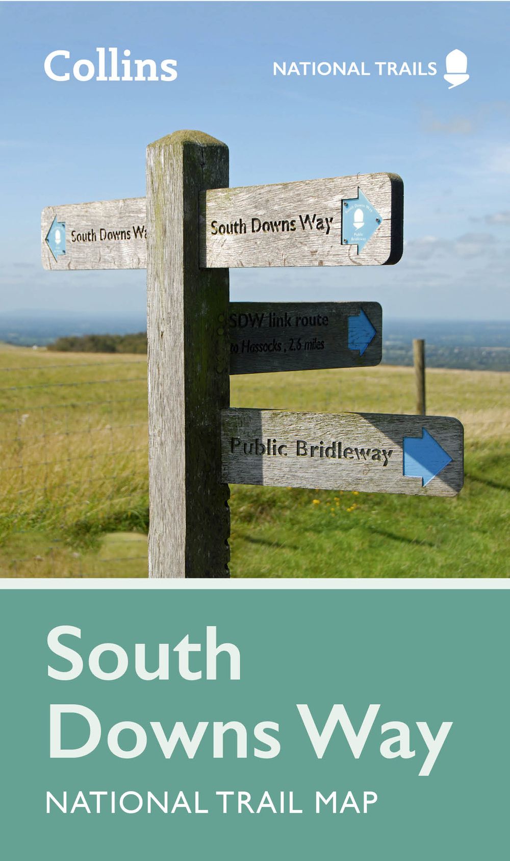
South Downs Way National Trail Planning Map
South Downs Way National Trail Planning Map
Regular price
$13.12 AUD
Regular price
$14.99 AUD
Sale price
$13.12 AUD
Unit price
/
per
Couldn't load pickup availability
Highlights of this Planning Map include:
• More than 20 highlighted places of interest with detailed descriptions and attractive photographs, including: Brighton Pier, The Long Man of Wilmington, and Seven Sisters
• A comprehensive index to more than 800 cities, towns and villages
• A clear, visible route plotted across a 2 miles to 1 inch ( 1.25 km to 1 cm) scale map
• Advice on safety and security when travelling along the route, as well as the countryside code and the code of conduct
Part of the National Trail network, this long distance footpath covers 100 miles (160 km), starting in Winchester and finishing in Eastbourne, and lies completely within the South Downs National Park. Suggested itineraries for walking, cycling or horse-riding make it easy for users to plan their journey along this scenic route.
Share
No reviews